


Center for Coastal & Marine Studies
EUROPEAN GEOSCIENCES UNION GENERAL ASSEMBLY (EGU2020) VIENNA, AUSTRIA 03–08 MAY 2020
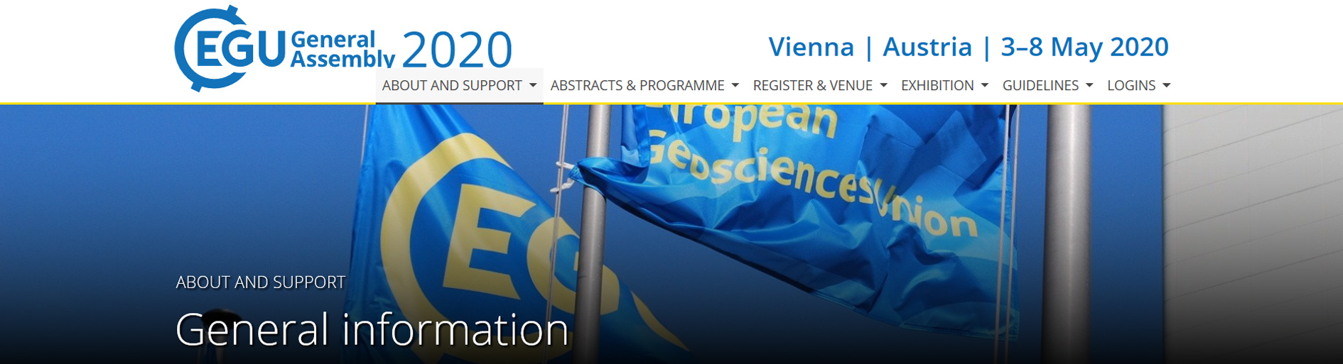
Only few days left to the deadline for abstracts submission until 15 JANUARY 2020 and we would like to encourage you for sending contributions to the EGU2020 Session: GM6.4 COASTAL ZONE GEOMORPHOLOGICAL INTERACTIONS: NATURAL VERSUS HUMAN-INDUCED DRIVING FACTORS, information on which please find below.
Session link: https://meetingorganizer.copernicus.org/EGU2020/session/37494
THE SESSION IS SPONSORED BY THE COMMISSION ON COASTAL SYSTEMS (CCS) OF THE INTERNATIONAL GEOGRAPHICAL UNION (IGU) (http://www.igu-ccs.org)
MARSPLAN-BS II TRAFFIC SEPARATION SCHEME WORKSHOP
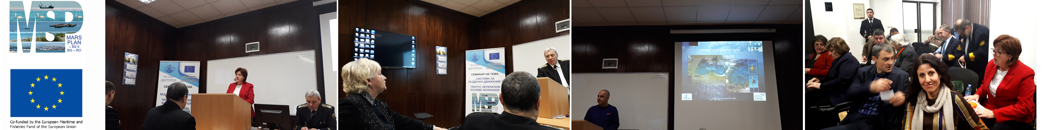
CCMS MARSPLAN-BS II Project team took participation at the First Thematic Workshop of the MARSPLAN-BS II Project, held on 12 December 2019 in Varna Bulgaria and organized by one of the Bulgarian partners in the project - Nikola Vaptsarov Naval Academy at their conference hall. The workshop was focused on the traffic separation scheme for Bulgaria and brought together the MARSPLAN-BS II partnership from Bulgaria and Romania, as well as a wide range of representatives of academy, research community, decision-makers, maritime and basin administrations, and other stakeholders.
CCMS AT THE MSP FORUM: GLOBAL MEETS REGIONAL, RIGA, LATVIA
![]()
CCMS took active participation at the Maritime Spatial Planning Forum, on 19-21 November 2019 in Riga, Latvia, organized together by VASAB, UNESCO’s Intergovernmental Oceanographic Commission, European Commission’s Directorate-General for Maritime Affairs and Fisheries, Pan Baltic Scope collaboration and University of Latvia. The forum served as a joint event of the 4th International MSP Forum, 3rd Baltic MSP Forum as well as the closing conference of the Pan Baltic Scope collaboration.
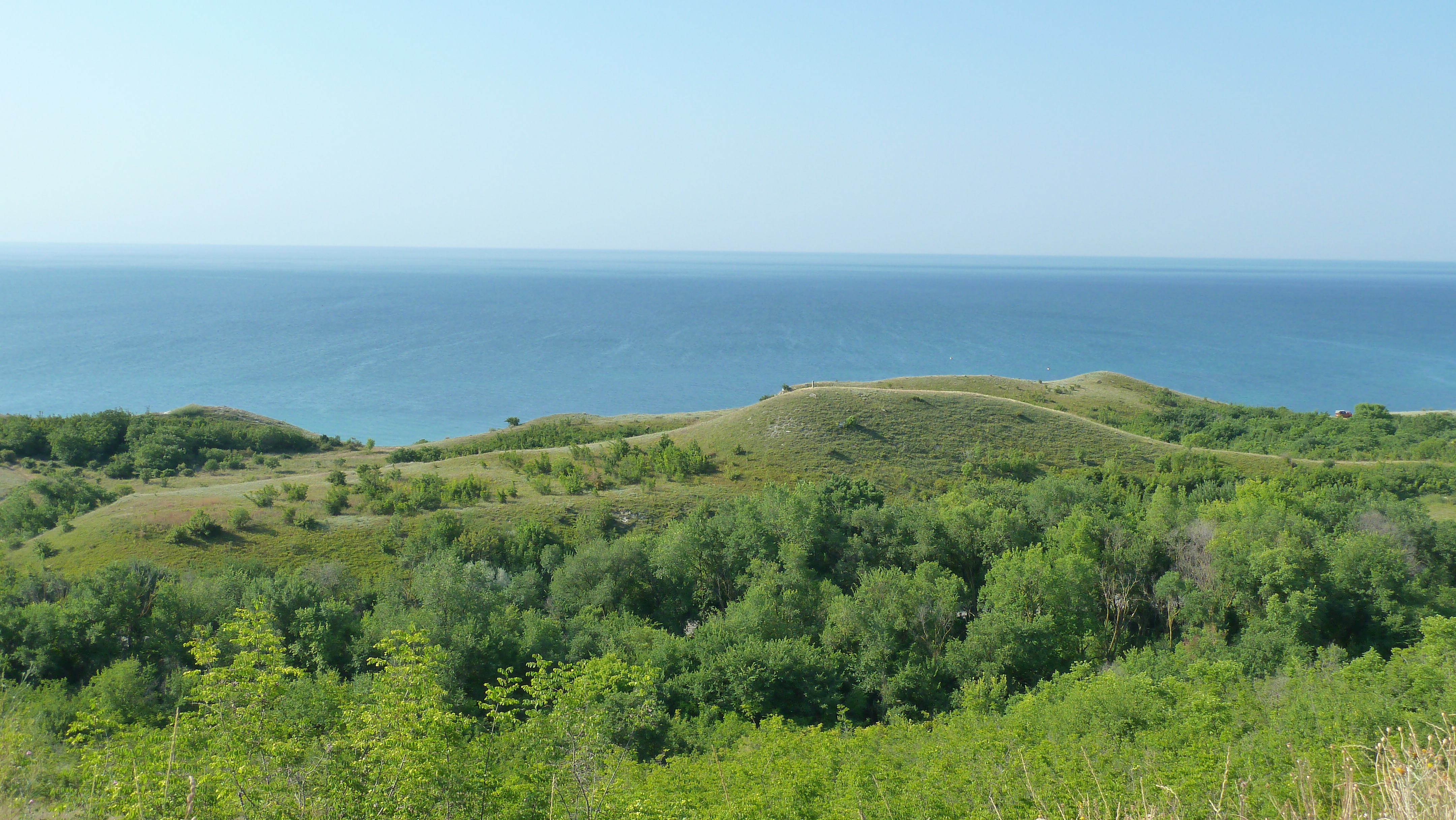
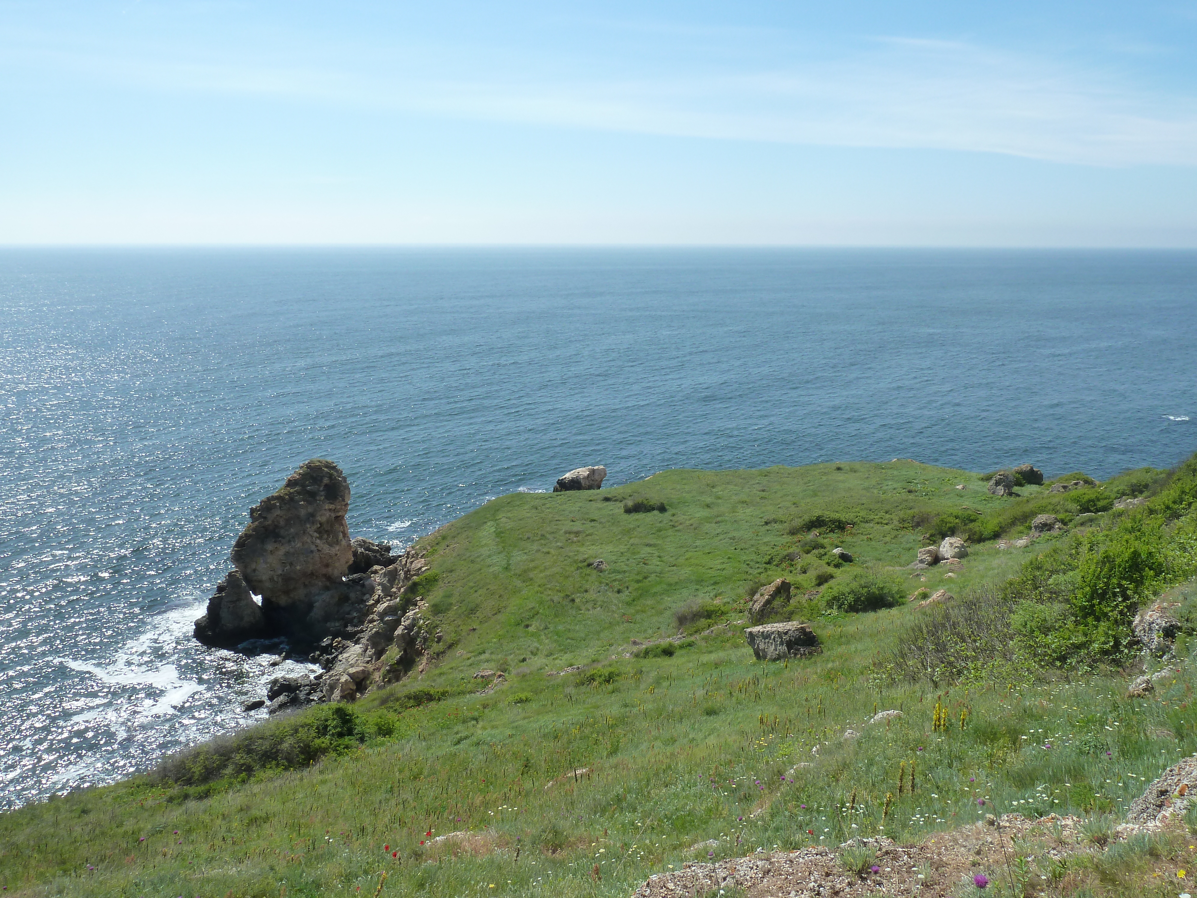
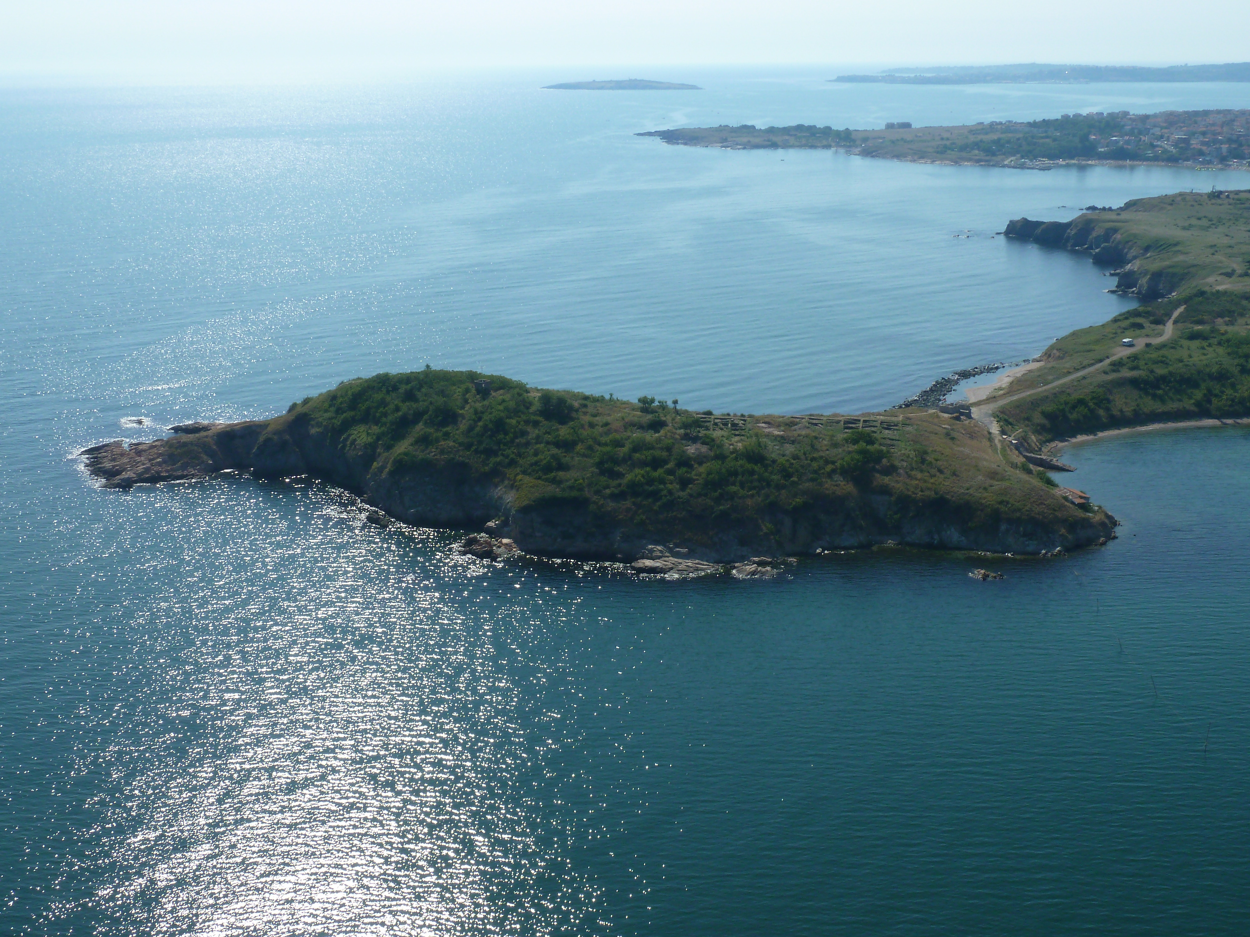
SUSTAINING COASTAL AND MARINE ENVIRONMENTS IN THE ANTHROPOCENE
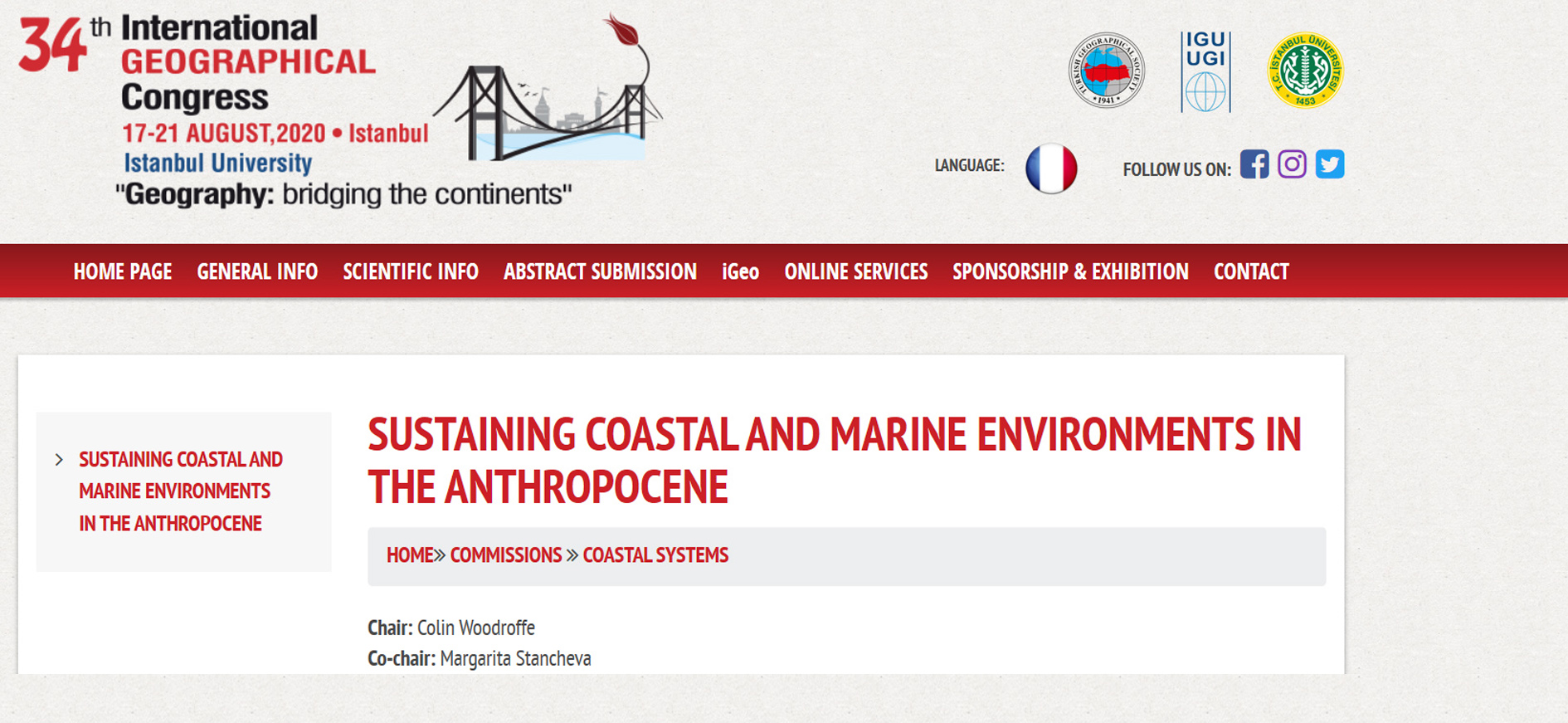
The Commission on Coastal Systems (CCS) of the International Geographical Union is pleased to invite submissions to the Session "SUSTAINING COASTAL AND MARINE ENVIRONMENTS IN THE ANTHROPOCENE" organised at the 34th INTERNATIONAL GEOGRAPHICAL CONGRESS with a theme "Geography: bridging the continents", that will take place on 17-21 August, 2020 in Istanbul, Turkey, information on which please find below: https://www.igc2020.org/en/COASTAL%20SYSTEMS.html
Chair: Colin Woodroffe
Co-chair: Margarita Stancheva