News and Events
"How to incorporate Underwater Cultural Heritage into Maritime Spatial Planning": a new study by the European MSP Platform has been published
The European MSP Platform published a study on “How to incorporate Underwater Cultural Heritage into Maritime Spatial Planning – Guidelines and Good Practices”, the objective of this handbook is to provide concrete guidance on how Underwater Cultural Heritage may be considered and incorporated into the Maritime Spatial Planning (MSP) process in order to overcome threats to UCH, be established in practical terms, and subsequently developed. Thus, this handbook addresses relevant initiatives in their different stages of development: from those that are just starting up, to those that are already well-established, and looks at ways to achieve an ideal balance and give a new impetus to the nexus between the protection and preservation of UCH and the development of a sustainable blue economy in European seas.
Originally published by the European MSP Platform
Download pdf version here: How to incorporate Underwater Cultural Heritage into Maritime Spatial Planning, April 2022.
For more information on this topic follow also our joint, recently published, peer-reviewed research paper "Supporting multi-use of the sea with maritime spatial planning. The case of a multi-use opportunity development - Bulgaria, Black Sea" in Marine Policy.
New study on MSP Tools and Guidance
CCMS took part and contributed to Bulgaria`s case study in the recently published European Commission`s study on tools and guidance documents for MSP Practitioners and other interested parties in the implementation, monitoring and evaluation of MSP. CCMS expert participated also in the review meeting organised to validate the findings with external experts.
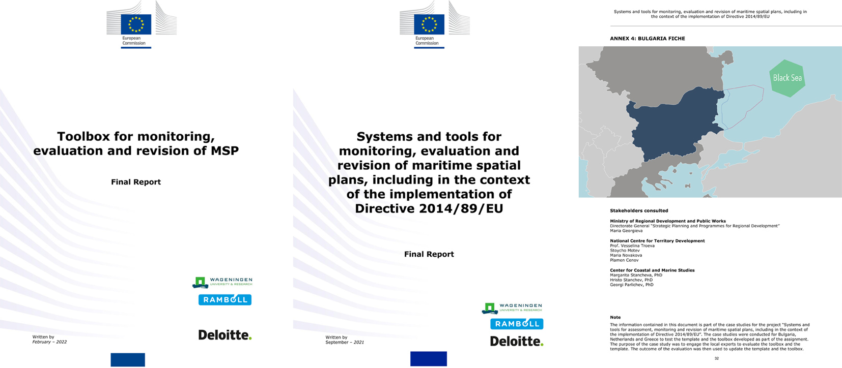
Toolbox for monitoring, evaluation and revision of MSP, February 2022
The objective of the study is to provide guidance to administrators in monitoring, evaluating and revising their maritime spatial plans, in particular in the context of the implementation of the Directive 2014/89/EU on Maritime Spatial Planning (or MSP Directive). To this end, the project provides a “guide” and a “toolbox”. The guide aims to enable EU Member States administrations to assess progress in the implementation of the EU MSP Directive. Key issues are identified that Member States could consider when establishing and executing their maritime spatial plans including, but not limited to, the requirement formulated in Directive 2014/89/EU and the intricate relations between Directive 2014/89/EU and other EU Directives. The toolbox is a comprehensive set of methods and tools that national administrations can draw upon when monitoring, evaluating and/or revising their maritime spatial plans.
Carbon stocks and sequestration in terrestrial and marine ecosystems: a lever for nature restoration?
A scoping analysis by the EEA and Wageningen University & Research is the first attempt to classify the different European Nature Information Network (EUNIS) habitat types of terrestrial and marine ecosystems according to their carbon stocks and carbon sequestration capacities. The study aims to create a baseline for further analysis, linking habitat types with carbon storage and sequestration capacities to support nature restoration and conservation, as well as climate mitigation policies. The data and findings presented are based on a literature review, expert knowledge and interpretation of existing studies from inside and, in some cases, outside the 27 EU Member States (EU-27).
Climate change mitigation and nature restoration are two sides of the same coin when it comes to achieving two main objectives of the European Green Deal; climate neutrality and increasing the EU’s natural capital. Well-functioning habitats can take up and store large amounts of carbon, reducing atmospheric CO2 levels and greenhouse gas emissions from land use practices. To use nature’s full potential, we need to know (1) the carbon storage and sequestration potential of European habitats in their present condition and how much carbon can be used to meet EU emissions policy targets; and (2) the measures available to increase carbon storage in habitats, and the synergies and trade-offs between these measures and ecosystem function. The EEA briefing addresses these questions.
BlueInvest: Commission and EIF agree to mobilise €500 million with new equity fund for blue economy
At the BlueInvest Days 2022 in Brussels, Commissioner Virginius Sinkevičius and European Investment Fund (EIF) Deputy Chief Executive, Roger Havenith have announced a new dedicated equity initiative for the blue economy under InvestEU. The initiative will mobilise an additional €500 million of EU funds for financial intermediaries investing in this sector. Commissioner Sinkevičius also announced that the European Commission’s successful BlueInvest initiative will continue beyond 2022 until 2026.
European Commissioner Virginijus Sinkevičius, responsible for Environment, Oceans and Fisheries, praised the achievements of the BlueInvest initiative, which in the past 3 years has been highly successful in terms of getting hundreds of SMEs coached and matched with investors. The initiative has led to a large number of financing deals being signed, has strengthened the investment landscape for the blue economy, increased investor awareness and helped bridge the finance gap for blue technology SMEs and start-ups.