News and Events
Vanishing Sands: Losing Beaches to Mining
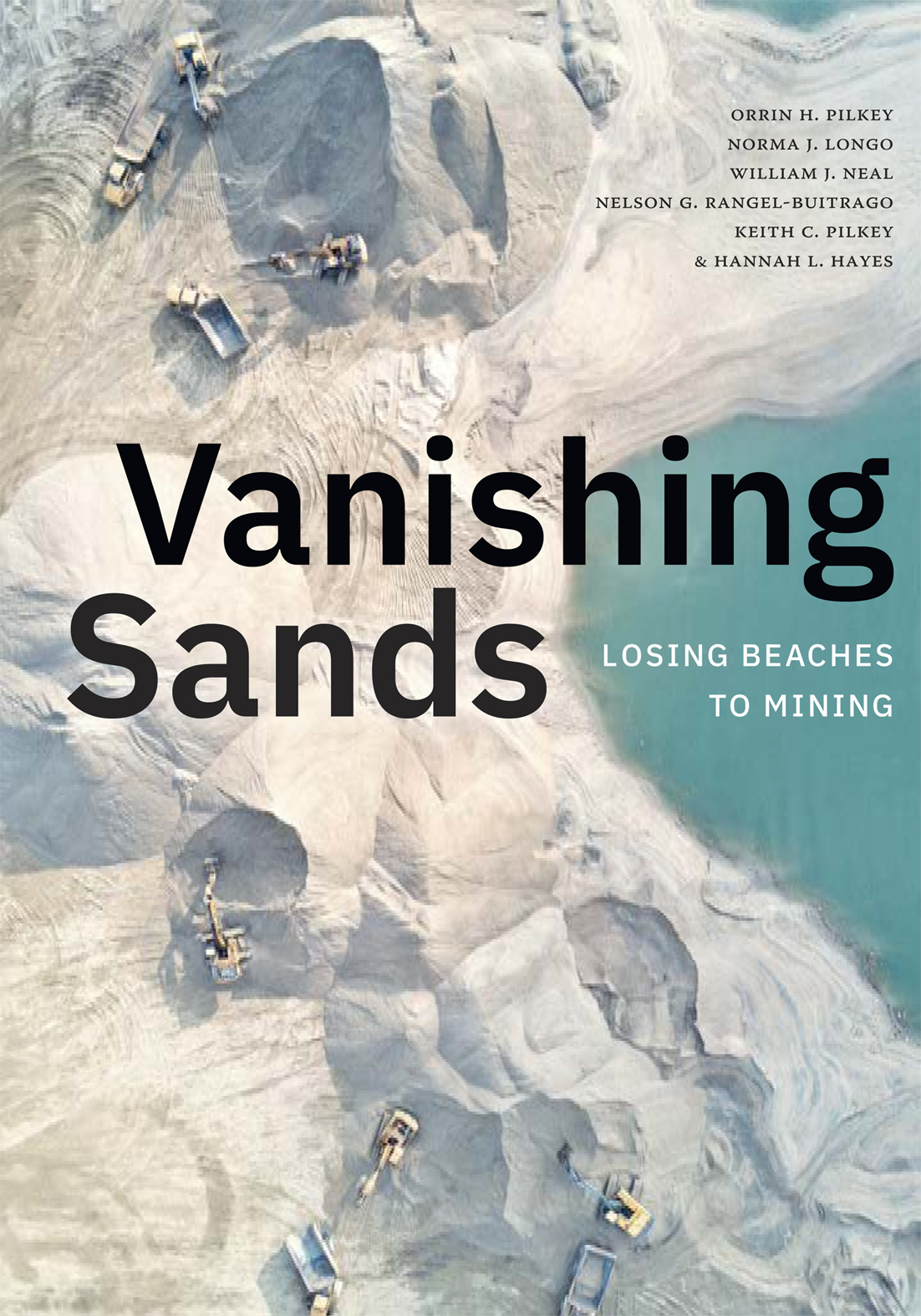
A new book from Duke University Press, “Vanishing Sands: Losing Beaches to Mining,” casts light on the shadowy world of sand mining through case studies that illuminate its disastrous impacts and a concluding chapter that proposes common-sense solutions.
Because of the tradition of viewing beaches as public land, people have historically thought of beach sand as a free and limitless resource, Pilkey and his co-authors explain in their preface to “Vanishing Sands…”
UNEP Adaptation Gap Report 2022 published!
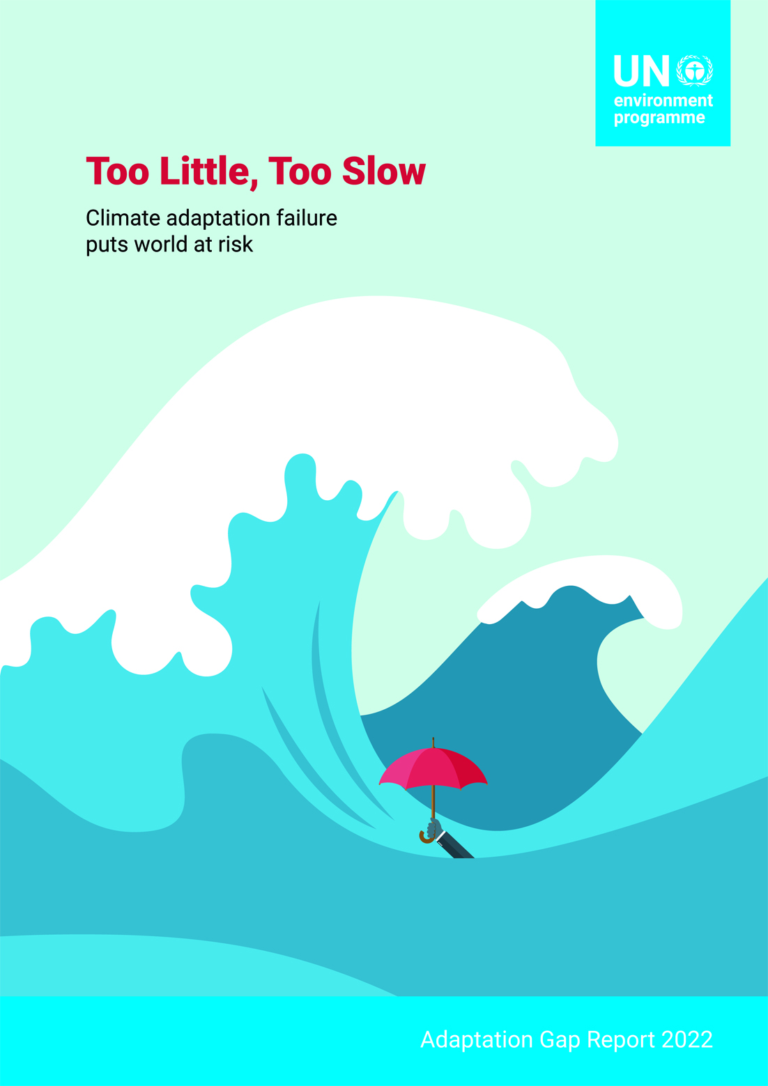
Excerpt: Climate change is landing blow after blow upon humanity and the planet, an onslaught that will only intensify in the coming years even if the world begins to bring down greenhouse gas emissions. UNEP’s Adaptation Gap Report 2022: Too Little, Too Slow – Climate adaptation failure puts world at risk finds that the world must urgently increase efforts to adapt to these impacts of climate change.
MSP4BIO PROJECT WEBSITE LAUNCHED!
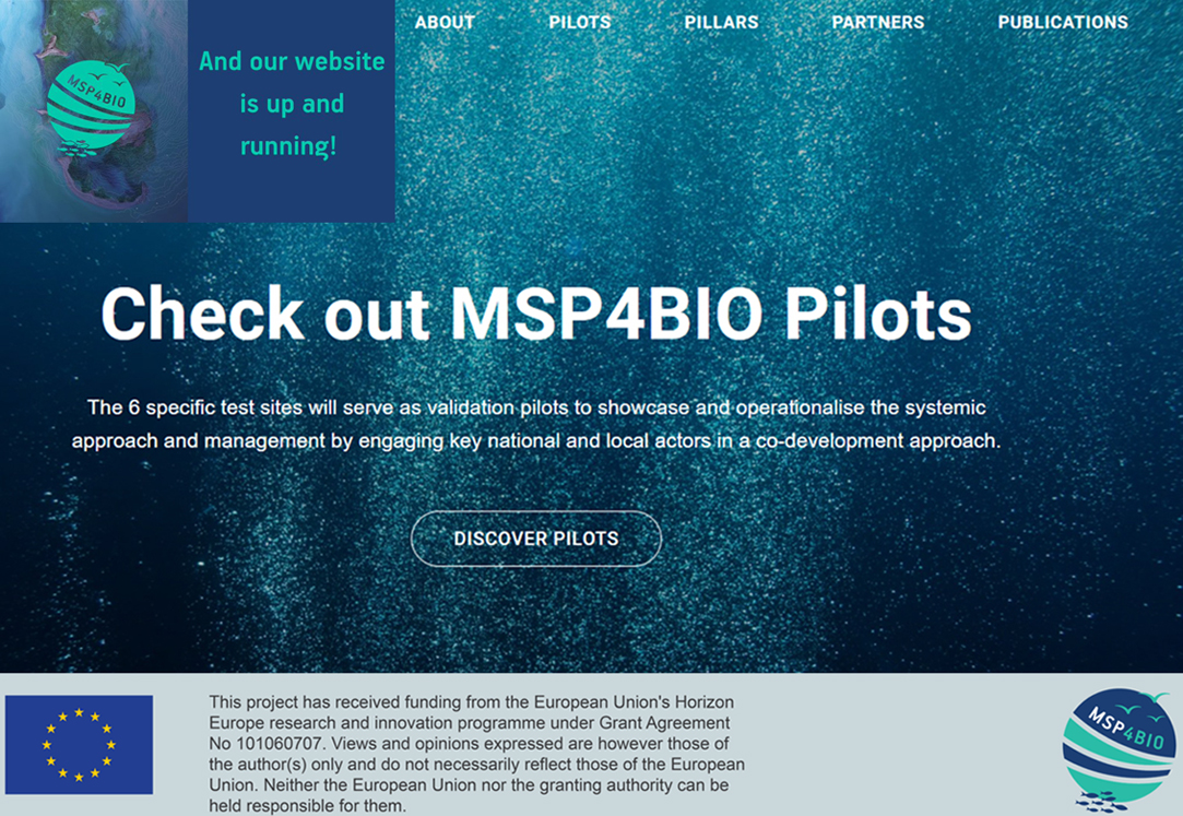
We are happy to announce that the MSP4BIO Project website (https://msp4bio.eu/) has been already launched. Please check out MSP4BIO website and introduce with project activities, pilots, publications, etc.
MSP4BIO Twitter account @MSP4BIO_project (https://twitter.com/MSP4BIO_Project) is also active! You can follow, share and tag it MSP4BIO project activities and results.
READ THE RECENT NEWS ON THE EUCC-D WEBPAGE OF THE NETWORK!
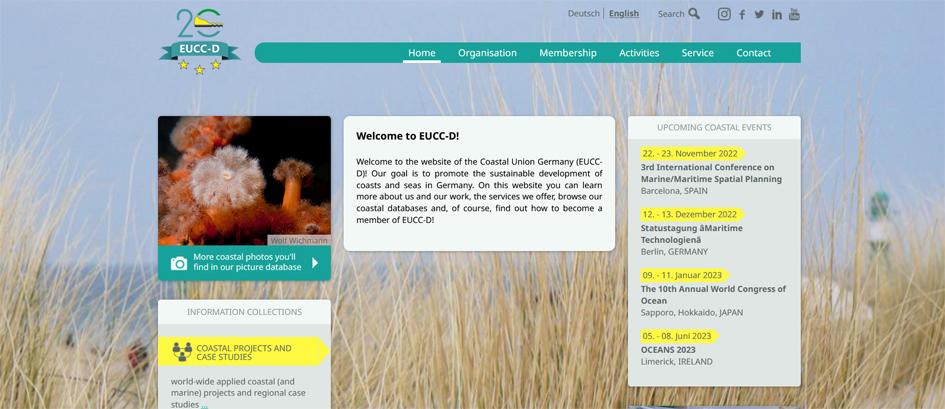
Coastal Union Germany (EUCC-D) is the national branch of the Coastal & Marine Union and member of the EUCC-Baltic network. EUCC-D goal is to promote the sustainable development of coasts and seas in Germany. On their website, you can learn more about EUCC-D and their work, the services offered, browse coastal databases and, of course, find out how to become a member of EUCC-D!
Read more of the EUCC-D recent activities through their updated webpage:
https://www.eucc-d.de/beach-and-dune-network.html