News and Events
EEA briefing ‘The importance of restoring nature in Europe: Damaged ecosystems need restoration
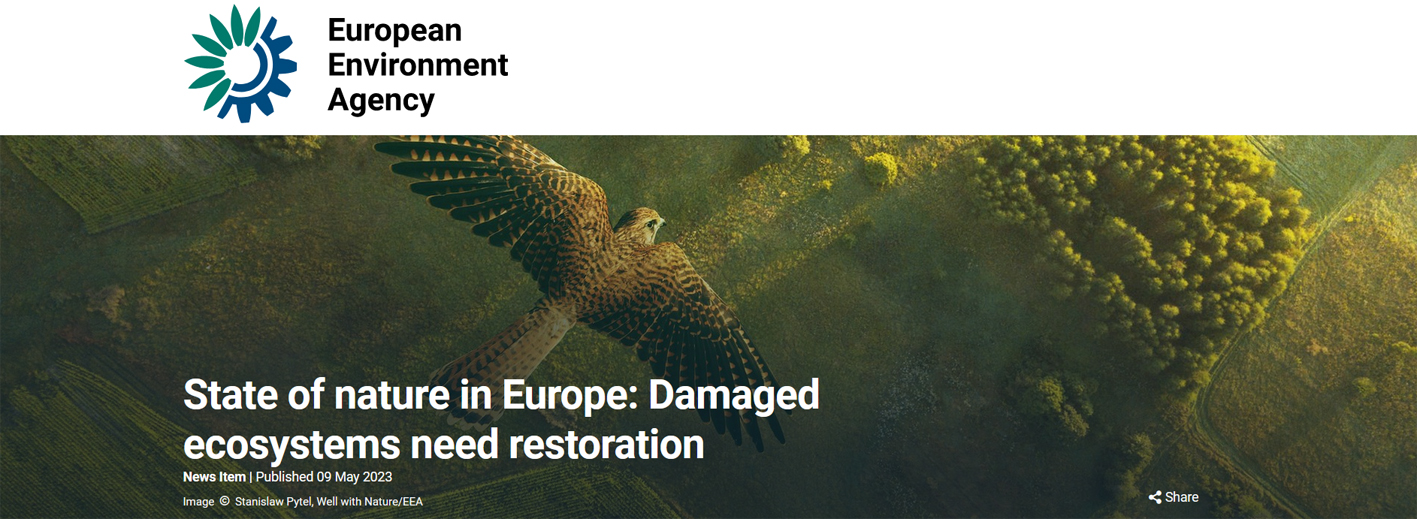
European nature is not in a good state and it has shown few signs of improvement over the past years. According to European Environment Agency’s (EEA) briefing, published on 09 May 2023, restoration efforts and better ongoing management of ecosystems are needed to safeguard a range of benefits delivered by a healthy nature — to people’s health, food security and effective climate action.
The EEA briefing ‘The importance of restoring nature in Europe’ sums up key evidence on why European ecosystems are in urgent need of concerted restoration efforts both inside existing designated protected areas but also outside these spaces, such as in managed forests, agricultural lands, seas, and urban areas.
Restoring damaged rivers, lakes, wetlands, forests, grasslands, marine habitats and other ecosystems would not only improve the overall resilience and quality of nature in Europe, but would bring many broader societal benefits. For example, the health of habitats for pollinators, such as bees and beetles, is critical for long-term food security in Europe. The condition of forests and wetlands is vital for climate change mitigation, and healthy ecosystems also provide better protection from extreme weather events and pollution, the EEA briefing highlights.
However, despite commitments over several decades, EU Member States have not yet been able to achieve long-term policy targets on nature or change the overall negative trend of declining biodiversity, the EEA briefing reminds. To change this course, it is imperative to restore damaged ecosystems to a good state while also maintaining efforts to protect the healthy ones.
According to the EEA’s latest ‘State of nature in the EU 2020’ assessment, 81% of protected habitats, 39% of protected birds and 63% of other protected species are in a poor or bad state. Many cumulative factors contribute to the pressures on nature in Europe, including intensive agriculture, land take, pollution, unsustainable forestry and climate change.
Read full European Environment Agency’s (EEA) briefing HERE!
Originally published by: https://www.eea.europa.eu
HAPPY BIRTHDAY TO CCMS: CELEBRATING 5 YEARS OF VIBRANT COASTAL AND MARINE STUDIES
CCMS is directly advised by Advisory Committee (AC), which involves seventeen distinguished and outstanding scientists and experts from different institutes, universities and organizations all around the globe (Australia, Belgium, Greece, Columbia, Estonia, Germany, Italy, Poland, Romania, Spain, Turkey, United Kingdom, USA and Bulgaria). For more information on AC members explore the section for AC on our webpage: http://www.ccms.bg/en/about-ccms/advisory-committee.
Read more: HAPPY BIRTHDAY TO CCMS: CELEBRATING 5 YEARS OF VIBRANT COASTAL AND MARINE STUDIES
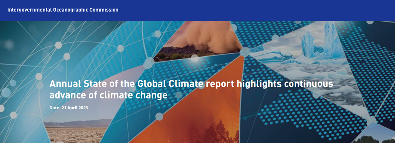
Annual State of the Global Climate report highlights continuous advance of climate change
Featuring the latest data from IOC/UNESCO on ocean acidification levels across the global ocean, the WMO State of the Global Climate report 2022 focuses on key climate indicators: greenhouse gases, temperatures, sea level rise, ocean heat and acidification, sea ice and glaciers. It also highlights the impacts of climate change and extreme weather.
• Drought, floods and heatwaves affect large parts of the world and the costs are rising
• Global mean temperatures for the past 8 years have been the highest on record
• Sea level and ocean heat are at record levels – and this trend will continue for many centuries
• Antarctic sea ice falls to lowest extent on record
• Europe shatters records for glacier melt
From mountain peaks to ocean depths, climate change continued its advance in 2022, according to the annual report from the World Meteorological Organization (WMO). Droughts, floods and heatwaves affected communities on every continent and cost many billions of dollars. Antarctic sea ice fell to its lowest extent on record and the melting of some European glaciers was, literally, off the charts.
The State of the Global Climate 2022 shows the planetary scale changes on land, in the ocean and in the atmosphere caused by record levels of heat-trapping greenhouse gases. For global temperature, the years 2015-2022 were the eight warmest on record despite the cooling impact of a La Niña event for the past three years. Melting of glaciers and sea level rise - which again reached record levels in 2022 - will continue to up to thousands of years.
Originally published by: Intergovernmental Oceanographic Commission of UNESCO (IOC-UNESCO)
Read full text here!
Special Issue Reprint "Land Modifications and Impacts on Coastal Areas" has been published online and is freely accessible
We are pleased to announce that the Special Issue Reprint "Land Modifications and Impacts on Coastal Areas" to which the CCMS team contributed has been published online and is freely accessible on the MDPI Books platform:
https://www.mdpi.com/books/book/6619-land-modifications-and-impacts-on-coastal-areas
The reprint book will be listed in book databases and is available through several distribution platforms. Furthermore, the reprint can be purchased as a printed copy directly from MDPI website.