News and Events
New MSP research paper is now available online: Land-Sea-Interactions in MSP and ICZM: A regional perspective from the Mediterranean and the Black Sea

We are happy to promote our newly published joint research paper in Marine Policy Journal (Elsevier): Land-Sea-Interactions in MSP and ICZM: A regional perspective from the Mediterranean and the Black Sea, a collaboration of:
• t-ELIKA, Venice, Italy
• Priority Actions Programme/Regional Activity Centre (PAP/RAC), Split, Croatia
• Prostorsko načrtovanje, Ljubljana, Slovenia
• Center for Coastal and Marine Study (CCMS), Varna, Bulgaria
• Planning Authority, Malta
• IUAV University of Venice, Department of Architecture and Arts, Planning and Climate Change Lab, Venice, Italy
• Institute of Marine Science (ISMAR), National Research Council (CNR), Venice, Italy
Land-sea interactions are relevant for marine spatial planning. Natural processes at the land-sea interface shape the terrestrial and the marine environment, influencing coastal and maritime activities in the area. Coastal and sea uses also hold numerous land-sea interactions, calling for infrastructures and services both on the land and the sea side.
In this paper the Guidelines for LSI in MSP proposed by UNEP/MAP PAP/RAC to provide practical support to land-sea interaction analysis within MSP are applied in four case studies: Bulgaria, Italy, Malta and Montenegro, within formal and informal marine spatial planning processes. The Guidelines have proved to be flexible, scalable and suitable to tiered approaches. They were adapted to the specificities of different planning, geographic, governance contexts, responding to the state and the needs of MSP development in the different countries, including non-EU ones.
COMMUNICATING THE MARITIME EGD ACROSS EU SEA BASINS

We are happy to announce our next MSP-GREEN Project Deliverable 5.2: Communicating the Maritime European Green Deal (A Companion for MSP Practitioners, Decision-makers, and Marine Sustainability Communicators). The objective of this deliverable is to help promote the green transition of maritime sectors by means of planned activities in EU Member States, in line with the objectives of the European Green Deal (EGD) and the EU Maritime Spatial Planning (MSP) Directive. The main goal is to present sea basin-specific elements of the maritime EGD that could be considered in communication strategies. Maritime cultural specificities of the EU sea basins that could act as enablers of maritime EGD communication are also considered.
Read more: COMMUNICATING THE MARITIME EGD ACROSS EU SEA BASINS
State of the Baltic Sea 2023 Report is out!

Achieving good ecosystem health is a core area of collaboration among countries bordering the Baltic Sea, which make up the Contracting Parties to HELCOM. Pressures from various human activities have an impact on Baltic Sea ecosystems, affecting the status of species and habitats, as well as human well-being.
The close links between different parts of the Baltic Sea mean that actions often have to be coordinated across national borders for environmental measures to be effective. Environmental pressures vary spatially and their importance can change over time, depending on how human activities develop and on how efficiently we are able to manage and minimize negative impacts.
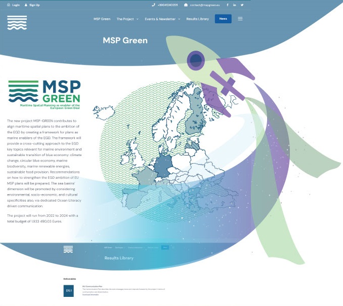
MSP-GREEN project website is officially launched!

You can find information about:
• Project’s objectives and overall activity structure
• Consortium team
• MSP and EGD
• Project results and deliverables
• Events and Newsletter
Follow it at: https://mspgreen.eu
We are also happy to announce, that the MSP-GREEN D2.1: The Green Deal component of the EU MSP Plans, along with Infographic and Country Summaries are published and ready to look and read!
Read more: MSP-GREEN project website is officially launched!
