News and Events
Countries must do more to ensure sustainable development of ocean activities: a new OECD report says
Countries need to work together to defend the ocean from a steady rise in temperature, pollution and overfishing that threatens its ability to continue supporting marine life and providing food and income to billions of people, according to a new OECD report.
The July 2020 Newsletter of the IGU CCS has been released and ready to read!

The Commission on Coastal Systems (CCS) to the International Geographical Union (IGU) is glad to release its July 2020 Newsletter. The CCS Newsletter is issued twice a year and highlights the activities of Commission on Coastal Systems and its members all across the world.
The July 2020 CCS Newsletter can be read also here!
Tackling pollution and climate change in Europe will improve health and well-being, especially for the most vulnerable – new EEA report says
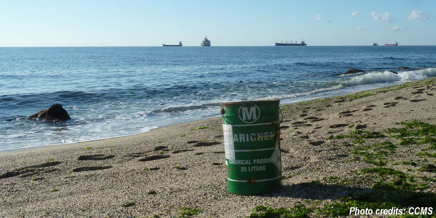
Air and noise pollution, the impacts of climate change such as heatwaves, and exposure to dangerous chemicals cause ill health in Europe. Poor quality environments contribute to 13 % (one in every eight) of deaths according to a major assessment on health and environment released by the European Environment Agency (EEA).
A significant proportion of the burden of disease in Europe continues to be attributed to environmental pollution resulting from human activity, according to the EEA report ‘Healthy environment, healthy lives: how the environment influences health and well-being in Europe.’
All roads lead to retreat: adapting to sea level rise using a trigger-based pathway
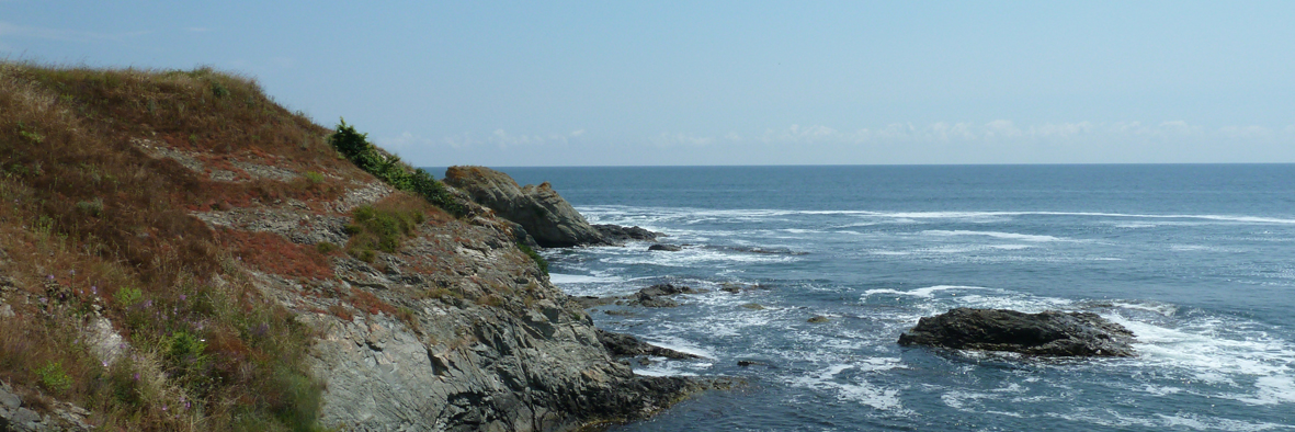
As coastal communities all over the world deal with the consequences of rising sea-level and more intense storm events, planners and managers continue to grapple with the optimal policy approach to managing increasing risks to coastal ecosystems, people and property.
The impact of rising sea levels and coastal erosion will see shorelines retreat steadily and provide major challenges for planning authorities, according to a research that involved The University of Western Australia, and was contracted to GHD consultancy firm.
Read more: All roads lead to retreat: adapting to sea level rise using a trigger-based pathway