News and Events
Recent Report on Europe`s Circular Economy
Circular economy initiatives in Europe are still at an early stage, reveals the European Environment Agency (EEA) recently report. Circular resource use can minimise waste and resource extraction, improve resource efficiency, reduce greenhouse gas emissions, and contribute to biodiversity conservation. Therefore, the circular economy can benefit from more investments in upscaling promising innovations and in monitoring progress towards circularity.

In its report titled ‘Paving the way for a circular economy: insights on status and potentials’ (published on 1 October 2019) the EEA takes stock of the initiatives for creating a circular economy that reduce the use of natural resources and minimise harmful emissions and waste.
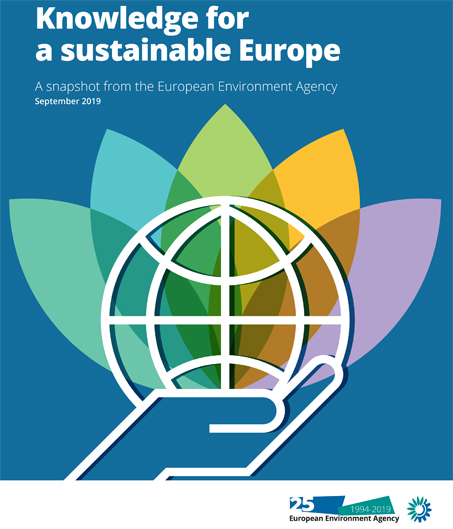
Knowledge for a sustainable Europe
A snapshot from the European Environment Agency, September 2019

This briefing is based on a range of EEA and Eionet work, and is intended to provide parliamentarians and the European Commission with a selection of key insights on the challenges for environmental sustainability.
Read the briefing here!
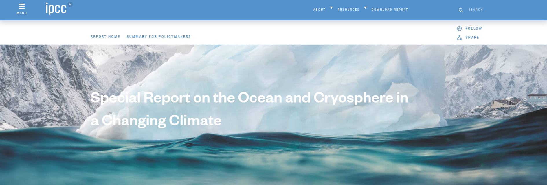
IPCC Special Report on the Ocean and Cryosphere in a Changing Climate
The IPCC approved and accepted Special Report on the Ocean and Cryosphere in a Changing Climate at its 51st Session held on 20 – 23 September 2019. The Report highlights the urgency of prioritizing timely, ambitious and coordinated action to address unprecedented and enduring changes in the ocean and cryosphere. The report reveals the benefits of ambitious and effective adaptation for sustainable development and, conversely, the escalating costs and risks of delayed action.
More than 100 authors from 36 countries assessed the latest scientific literature related to the ocean and cryosphere in a changing climate for the report, referencing about 7,000 scientific publications.
Read more: IPCC Special Report on the Ocean and Cryosphere in a Changing Climate
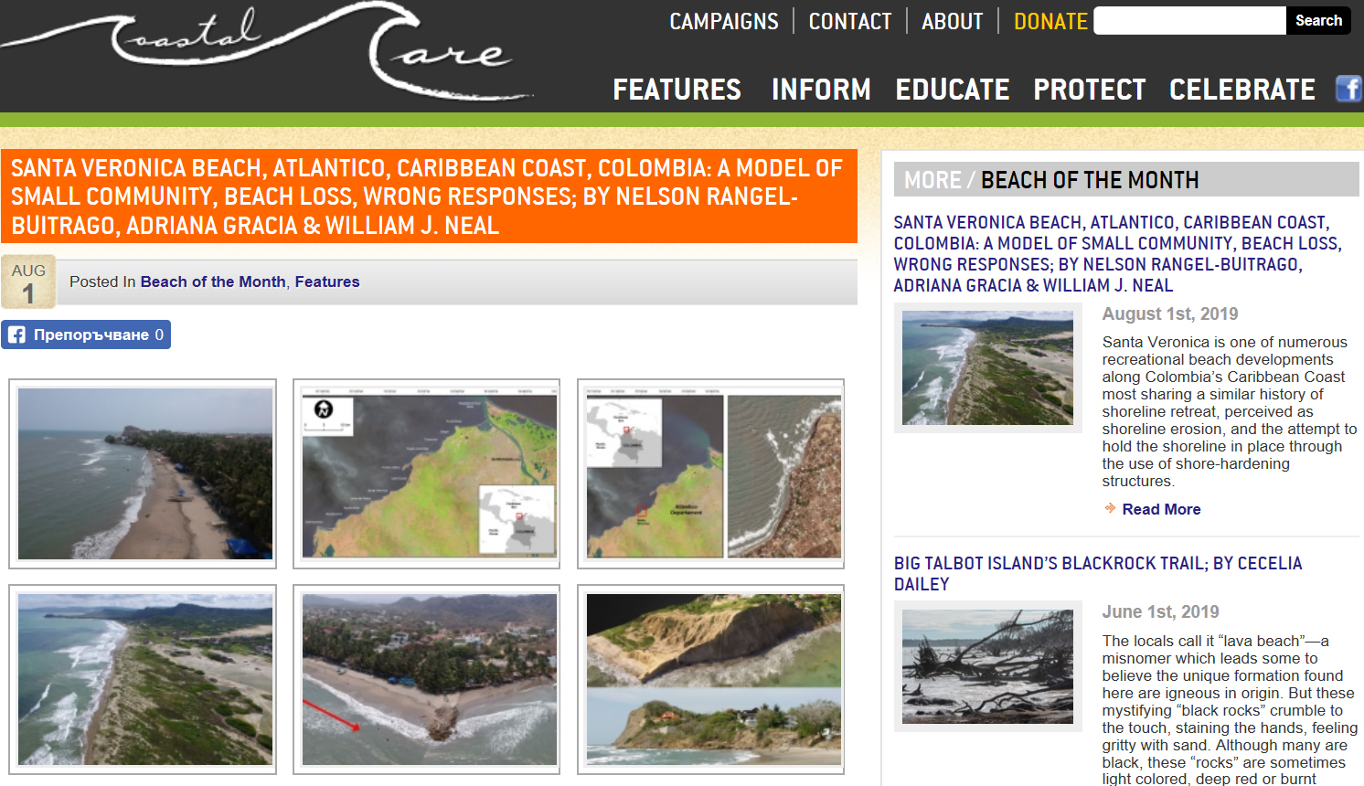
COASTAL CARE "BEACH OF THE MONTH": A MODEL OF SMALL COMMUNITY, BEACH LOSS, WRONG RESPONSES

The CCMS AC member Nelson Rangel-Buitrago is the main author of a recent study on Santa Veronica beach, Atlantico, Caribbean coast, Colombia, published in Coastal Care website, feature Beach of the Month.
Santa Veronica is one of numerous recreational beach developments along Colombia’s Caribbean Coast most sharing a similar history of shoreline retreat, perceived as shoreline erosion, and the attempt to hold the shoreline in place through the use of shore-hardening structures.

