News and Events
MSP-GREEN FINAL DELIVERABLE: D4.2 SECOND POLICY BRIEF PUBLISHED!
We are glad to share the release of the project’s final deliverable: D4.2 Second Policy Brief. This document represents the second (and last) policy brief prepared by the MSP-GREEN project. It consolidates and summarises the achievements of the project and guides to access other relevant project documents.
After two years of work, we remain firmly convinced that the path initiated by MSP-GREEN, positioning MSP as a key enabler of the European Green Deal, is crucial for achieving sustainable green transitions at sea!
Read the full version of the deliverable here!
Local Stakeholder Working Groups Established: A Key Milestone for BLUE CONNECT
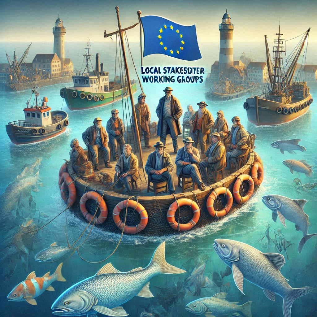
We are very glad to announce a significant milestone in the BLUE CONNECT project: the successful establishment of Local Stakeholder Working Groups (LSWGs) across the 12 Demonstration Sites (DS). This achievement was met in December 2024 and marks a pivotal step in fostering stakeholder collaboration and building the foundation for effective site management and conservation.
Read more: Local Stakeholder Working Groups Established: A Key Milestone for BLUE CONNECT
ANOTHER IMPORTANT MSP-GREEN DELIVERABLE WITH RECCOMMENDATIONS FOR MSP TO SUPPORT THE EUROPEAN GREEN DEAL
The present recommendations have been prepared as part of the MSP-GREEN project: “Maritime Spatial Planning (MSP) as Enabler of the European Green Deal (EGD)”. They provide suggestions on how to strengthen the content of Maritime Spatial plans (MS plans) and their implementation, monitoring and revision in the direction of EGD objectives. The recommendations were initially drafted by MSP-GREEN project partners based on the assessment of their country’s plans and capitalising on the outcome of other projects, such as eMSP NBSR (Emerging ecosystem-based Maritime Spatial Planning topics in North and Baltic Sea Regions).
WELCOME TO THE FIFTH ISSUE OF THE BLUE HORIZONS NEWSLETTER!
In the 5th Blue Horizon Newsletter we’re thrilled to announce that the Blue Connect project has officially joined our newsletter family! The Blue Connect is co-developing, promoting, and demonstrating a systematic approach to marine conservation planning and management, as well as working with strict protection and blue corridors.
As you will see along this issue, with the excuse of Blue Connect joining we decided to revamp our image and we hope you like it as much as we do.
Read more: WELCOME TO THE FIFTH ISSUE OF THE BLUE HORIZONS NEWSLETTER!