News and Events
The July 2018 Newsletter of the IGU CCS has been released and ready to read!
{jcomments off}
The CCS Newsletter is issued twice a year and highlights the activities of the Commission on Coastal Systems (CCS) to the International Geographical Union (IGU) and its members from around the globe. Copies of the Newsletter and announcements are on the CCS website: http://www.igu-ccs.org/.
The July 2018 CCS Newsletter can be read also here!
HAPPY BIRTHDAY TO US: CCMS TURNS 8!
On 9 March 2026, we celebrate the 8th anniversary of the Center for Coastal and Marine Studies (CCMS)! Over the past eight years, CCMS has grown through dedication, collaboration, challenges, achievements, and continuous learning. It has been an inspiring journey so far, and we are proud of all that we have accomplished together. As we now enter Year Nine, we look ahead with confidence, ambition, and excitement for what lies ahead.
Since its establishment, CCMS has been driven by the mission to advance and promote science, research, knowledge transfer, and innovation in the Black Sea region and the World Ocean. By bringing together science, environment, expertise, stakeholders, and policy making, the CCMS has worked to strengthen the scientific foundation for sustainable coastal and marine development. Our activities cover a wide spectrum of coastal and marine research, including studies and surveys on modern coastal and marine processes, while also supporting the implementation of major European coastal and maritime Strategies and Directives, such as Maritime Spatial Planning, the Blue and Circular Economy, the European Green Deal, and the EU Mission: Restore our Ocean and Waters.
An important source of strength for CCMS is the guidance of its Advisory Committee, which includes seventeen distinguished scientists and experts from institutes, universities, and organizations across the globe, including Australia, Belgium, Colombia, Estonia, Germany, Greece, Italy, Poland, Romania, Spain, Turkey, the United Kingdom, the United States, and Bulgaria. Their expertise, encouragement, and commitment have played a vital role in the Center's development and achievements. More information about the Advisory Committee members can be found here: Advisory Committee!
EEA Report No 3/2018 published
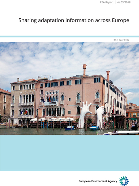
This report provides an evaluation on how the growing knowledge on adaptation in Europe has been captured and how it is presented on the web-based European Climate Adaptation Platform (Climate-ADAPT) and shared across Europe.
Systematic, connected: building the future of Europe’s marine protection
BLUE CONNECT is creating a blueprint to guide science-based protection, co-management and monitoring of Europe’s seas
Europe has set ambitious targets for protecting its marine environment, but progress reveals a significant gap. Only 13.7% of EU seas are protected, and just 0.03% are strictly protected – far below the EU Biodiversity Strategy’s 2030 goals of 30% and 10%, respectively. Meeting these targets requires not only designating new Marine Protected Areas (MPAs) but also strengthening existing ones and ensuring they form an effective, connected network.
BLUE CONNECT, a Horizon Europe Mission Ocean project, supports Europe in closing this gap. It promotes a comprehensive, science-driven and inclusive approach to expanding existing or designating new MPAs, shifting to strict protection, enhancing ecological connectivity, and facilitating co-management with local stakeholders. The project aligns with Mission Ocean and Waters objectives, providing Europe with tools to meet its 2030 protection and restoration commitments.
A science-driven blueprint
BLUE CONNECT aims to develop and implement a systematic approach to effective marine conservation. Central to this approach is a holistic modelling framework that considers biodiversity, ecological functioning, ecosystem services and connectivity aspects as well as socio-economic and cultural interests.
Read more: Systematic, connected: building the future of Europe’s marine protection