Center for Coastal & Marine Studies
EGU2021 GM6.6 Session: Coastal zone geomorphological interactions: natural versus human-induced driving factors
EGU General Assembly vEGU21: Gather Online (#vEGU21)

It is our great pleasure to invite submissions to the following Geomorphology Session at the fully virtual EGU General Assembly 2021 meeting, 19 – 30 April 2021. GM6.6 COASTAL ZONE GEOMORPHOLOGICAL INTERACTIONS: NATURAL VERSUS HUMAN-INDUCED DRIVING FACTORS.
THE SESSION IS SPONSORED BY THE COMMISSION ON COASTAL SYSTEMS (CCS) OF THE INTERNATIONAL GEOGRAPHICAL UNION (IGU) (http://igu-coast.org/).
Session link: https://meetingorganizer.copernicus.org/EGU21/session/40296
The first EGCP E-Newsletter – the Autumn 2020 issue is available now
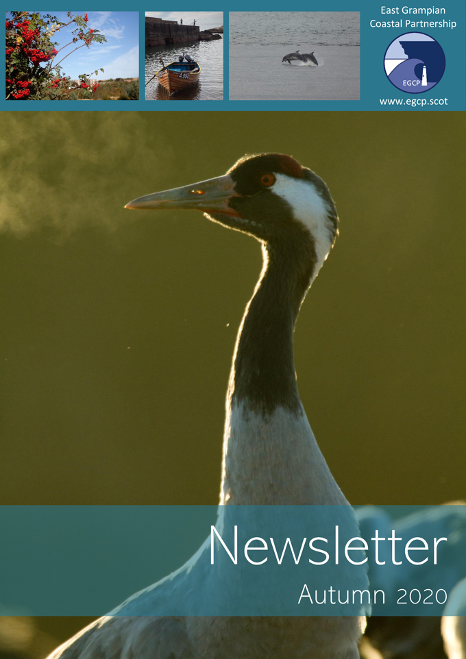
The Aberdeen Institute for Coastal Science and Management (AICSM), leaded by CCMS Advisory Committee member Dr. David R. Green, works alongside the East Grampian Coastal Partnership (EGCP) in a range of coastal projects. East Grampian Coastal Partnership (EGCP) is pleased to make available the first E-Newsletter – the Autumn 2020 issue. For many years, EGCP has produced a hardcopy newsletter. Like many organisations, EGCP have gradually felt the need to move to being ‘greener’, paper-free, working and communicating in an electronic environment.
MARSPLAN-BS II Thematic e-Workshop: Tourism Activities
Second Thematic Workshop: Tourism Activities of MARSPLAN-BS II project (Cross border maritime spatial planning in the Black Sea – Bulgaria and Romania), funded by the European Commission, through Executive Agency for Small and Medium-sized Enterprises (EASME), from the European Maritime and Fisheries Fund (EMFF), will be conducted on 5th November 2020.
EMODnet 10 years webinar
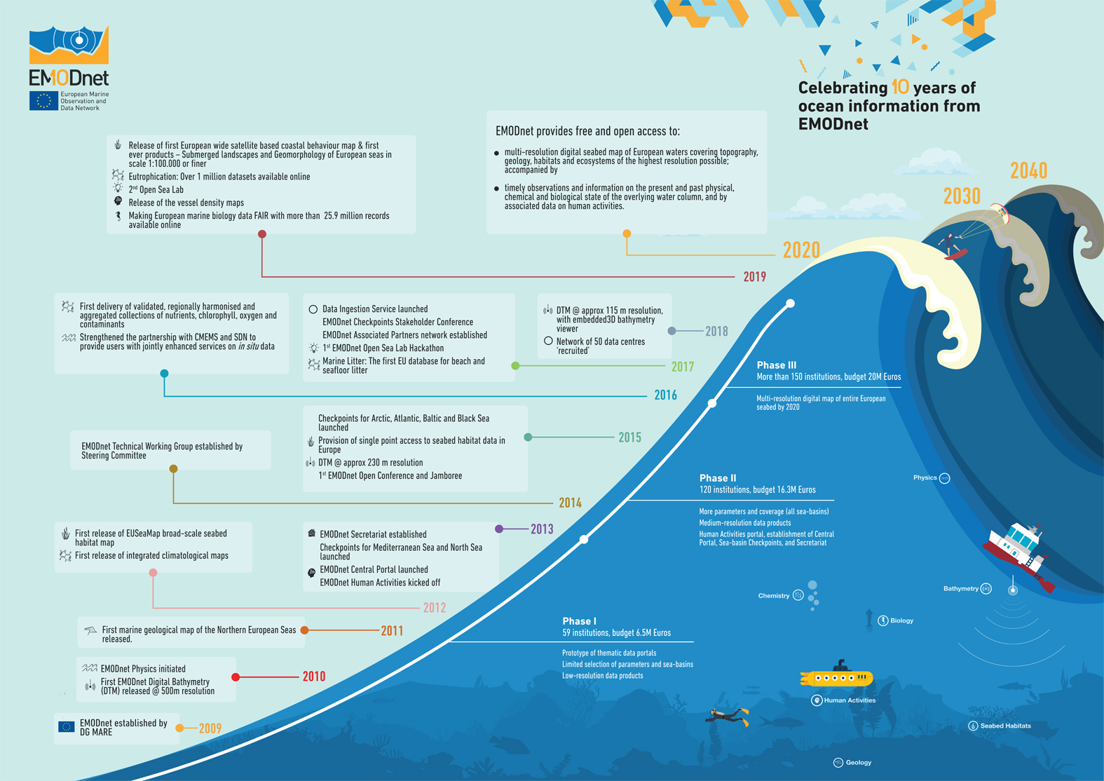
CCMS expert in GIS & GEODATABASE, Dr Hristo Stanchev, took active participation at the EMODnet 10 years webinar, conducted on 22 September, 2020 and organized by the EMODnet Secretariat.
More than 250 stakeholders all around the world were registered for the webinar, moderated by Kate Larkin (EMODnet Secretariat).


